Understanding the Key Differences Between GIS and LBS: Purpose, created at Oct 09, 2024 |
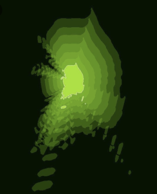
The Evolution and Applications of Geographic Information Systems: From Thematic Mapping to Efficient Data Analysis and Managementcreated at Oct 09, 2024 7,096 7,096 Geographic Information System is an information system that converts geographic information necessary for human life into computer data and utilizes it efficiently.The information system is a system that can collect, |